Why Inielika and Wawomudha
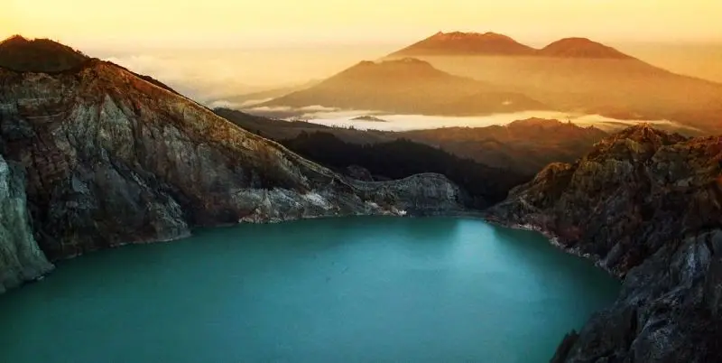
Inielika has nothing of the majestic cone of neighbouring Inerie. It is a broad, low volcano covered in coffee and maize plantations, with ten craters packed into 5 km² at its top. But one of them tells a rare story: the Wawomudha crater ("the young mountain") was still a cultivated field in 2000. In January 2001, a phreatic explosion blew off the top of the hill and opened a new crater. Since then, lakes have appeared and disappeared on its floor, orange, green or red depending on the season.
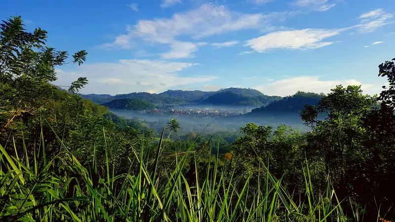
It is an easy, short hike through the Bajawa countryside, with views of Inerie and Ebulobo, and a chance to see a very young volcanic landscape.
Inielika at a glance
| Elevation | 1,559 m |
|---|---|
| Type | Low volcanic complex built inside the Lobobutu caldera |
| Craters | Ten, including Wolo Runu and Wolo Lega North (750 m wide) and Wawomudha |
| Eruptions | 1905 (a crater formed) and January 2001 (Wawomudha) |
| Trailhead | Ngora Nale, 10 minutes from Bajawa |
| Time | 2 to 3 hours for Wawomudha; half a day for Inielika |
| Difficulty | Easy |
| Alert level | I (normal) in November 2026 |
Is it open?
The box next to this article gives today's status. The volcano is at level I. The MAGMA report of 15 November 2026 nevertheless advises against staying within 1 km of the Inielika summit crater and against approaching gas vents (solfataras) or valleys where gas collects. Ask your guide which parts of the Wawomudha crater are accessible.
Getting there
The hike starts in the village of Ngora Nale, about ten minutes from Bajawa by motorbike. When the farm tracks are dry you can also ride a motorbike up to the crater rim. To get to Bajawa, see our Inerie guide.
The hike
The Wawomudha crater
It is better to go on foot. You walk along the rims of old, cultivated craters, among coffee bushes and maize fields, with Bajawa below and Inerie on the horizon. Then you reach the edge of Wawomudha, a hollow with ash walls, bare in the middle of the greenery.
You can walk around the crater and, when it is allowed, go down into it (one extra hour, on unstable ground). On the floor, temporary lakes form during and after the rainy season, then dry out. Their colour changes over the years: people have seen two green lakes and a blood-red one, then orange lakes. The colour comes from dissolved minerals and the chemistry of the water.
The summit of Inielika
The summit of Inielika can be reached in half a day, crossing one crater after another. It is less spectacular than Wawomudha, but gives a view over the whole complex.
The 2001 eruption
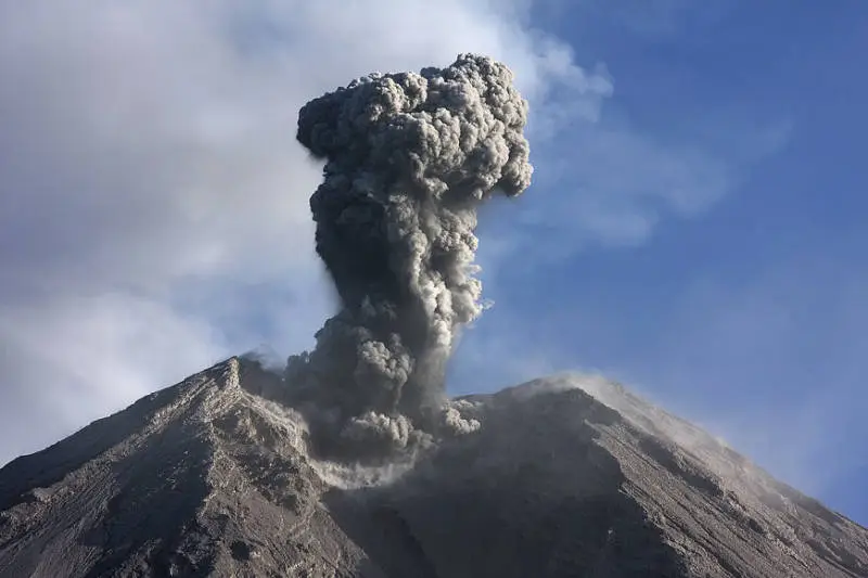
The Wawomudha crater as we know it was born in January 2001. After weeks of earthquakes felt by the villagers, a series of phreatic explosions threw out ash and blocks, destroyed the crops on top of the hill and opened a crater. There were no casualties. It was Inielika's first eruption since 1905, when another phreatic explosion had formed a new crater.
The volcano
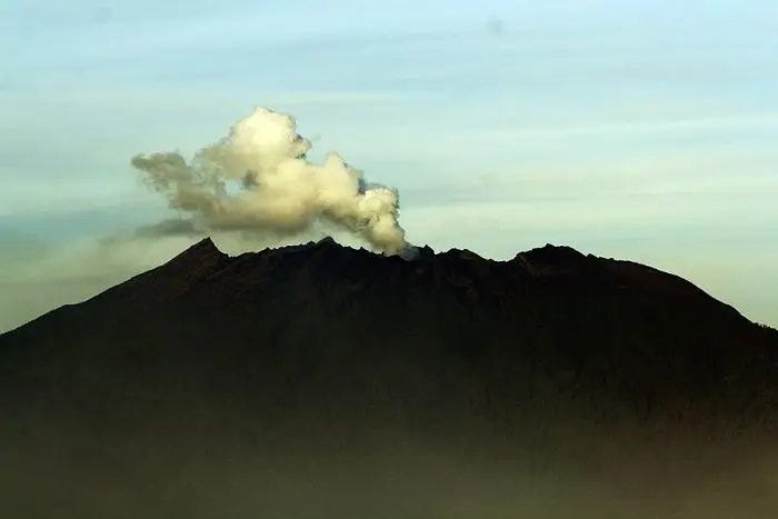
Inielika is a broad, low volcano built inside the Lobobutu caldera, north of Bajawa. It belongs to a 20 km-long volcanic field, oriented north-west to south-east around Bajawa, which stretches south to Inerie through the chain of Bajawa cones.
The volcanic history of the area goes back about 4 million years, with basalt flows 3.4 million years ago, the Welas caldera 2.7 million years ago, then the Bajawa caldera about 160,000 years ago. More recent activity built many domes and cones: Wolo Bobo, Manulalu, Belu, Mataloko and Inielika.
Full timeline: 2 recorded eruptions
| Start | End | VEI | Location |
|---|---|---|---|
| 2001-01-11 | 2001-03-16 | 2 | Summit crater complex |
| 1905-11-16 | 1905-11-16 | 2 |
Source: Smithsonian Institution, Global Volcanism Program. VEI = Volcanic Explosivity Index, from 0 (effusive) to 8 (supervolcano); each step means ten times more material.
How it is monitored
The PVMBG monitors Inielika and publishes its reports on MAGMA Indonesia. The report of 15 November 2026 notes no plume, but eleven local tectonic earthquakes and two felt earthquakes.
Around Bajawa
- Inerie and the village of Bena: see our guide.
- Wolo Bobo, for a view over the whole area.
- The hot springs of Soa and Malanage.
- The eroded hills of Watu Nariwoto.
- Ebulobo, 1 h 30 to the east: see the guide.
Frequently asked questions
How long does Wawomudha take?
Two to three hours there and back from Ngora Nale, plus one hour to go down into the crater when it is allowed.
Are the lakes always there?
No. They appear during and after the rainy season, then disappear. Their colour changes from year to year.
Do I need a guide?
Not essential for the crater rim, but useful to find the right path through the plantations and to know which areas are allowed.
Sources
- MAGMA Indonesia (PVMBG), Inielika activity report of 15 November 2026
- Smithsonian Institution, Global Volcanism Program, Inielika (264090)
- Our former guide to Inielika and Wawomudha (2019, in French)
Article updated on 16 November 2026