Why Ebulobo
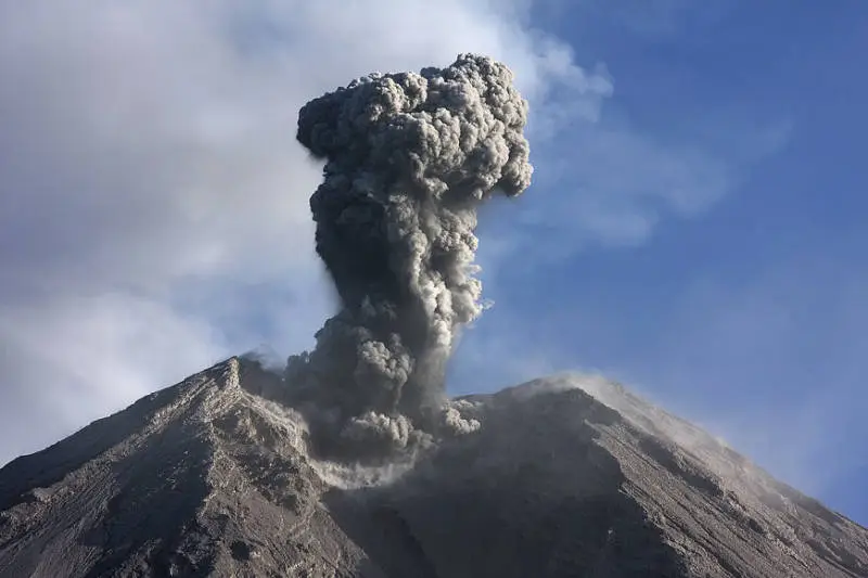
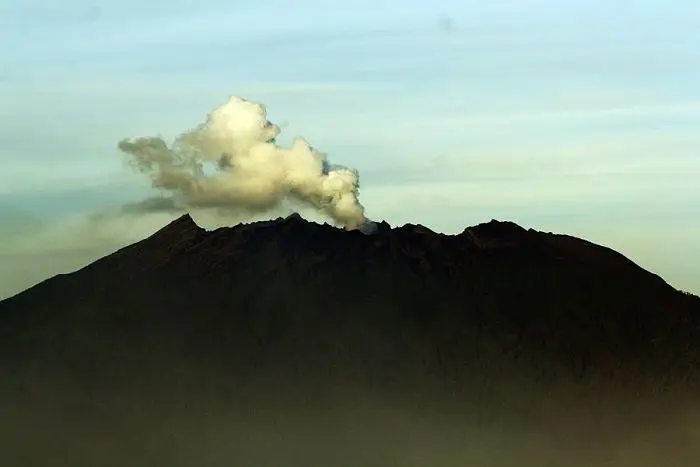
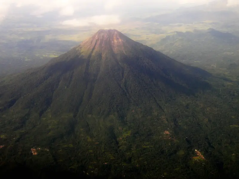
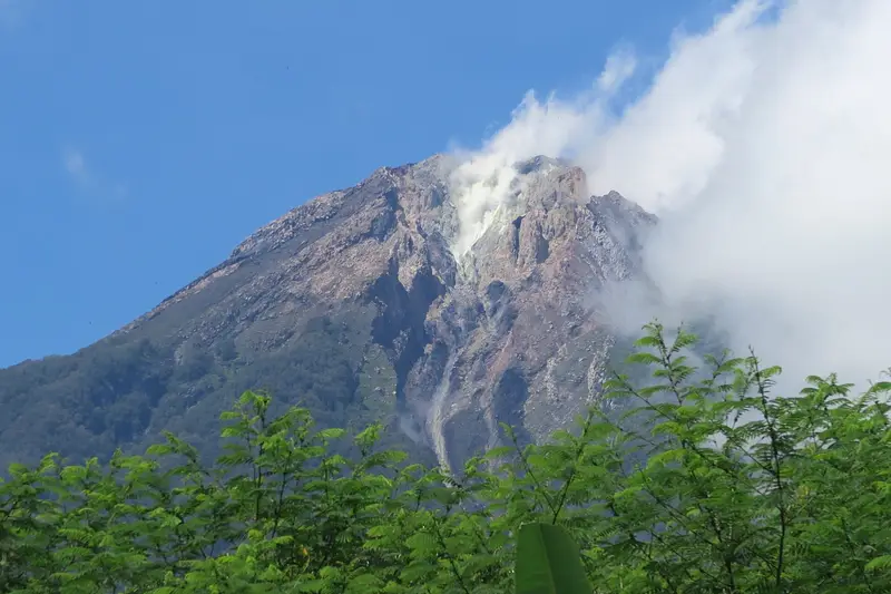
Halfway between Bajawa and Ende, a perfect cone towers over the Boawae valley, the old kingdom of the Nagekeo. This is Ebulobo, also called Amburombu or the Keo peak. It almost always steams a little.
The climb is short, steady and very quiet. You first cross a farmed forest, then leave the trees for a last climb through rocks to the summit, a chaos of lava blocks around a crater that looks like a cleft filled with sulphur steam. On a clear day the view reaches Inerie in the west and the whole south coast of Flores. The volcano is clean, without a scrap of litter: rare enough to mention.
Ebulobo at a glance
| Elevation | 2,124 m according to the PVMBG |
|---|---|
| Type | Steep, symmetrical stratovolcano with a lava dome at the top |
| Crater | About 250 m wide, open on three sides |
| Eruptions | 8 recorded, from 1830 to 1969 (and a possible one in 2017) |
| Trailhead | Mulakoli, about 925 m, 40 minutes from Boawae |
| Time | 3 h up, 1 h 30 to 2 h down |
| Difficulty | Moderate |
| Alert level | I (normal) in November 2026 |
Is it open?
The box next to this article gives today's status. The volcano is at level I. The MAGMA report of 15 November 2026 notes a thin white plume of 10 to 15 m and advises limiting the time spent near the active crater, not spending the night there and not approaching the cracks where gas escapes.
Getting there
Boawae lies on the Trans-Flores road between Bajawa (1 h 30, 53 km) and Ende (2 h 30). Shared taxis and minibuses link Bajawa and Ende. From Boawae, a motorbike taxi takes 40 minutes to the village of Mulakoli (about 925 m), at the foot of the volcano.
The climb
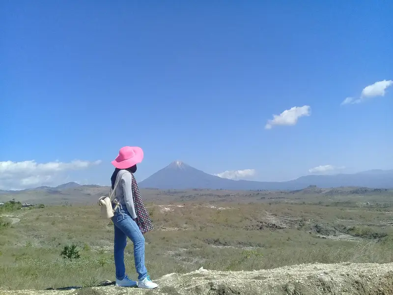
Leave Mulakoli very early, around 3 or 4 am, to reach the summit at dawn.
- The forest: the trail is very steep for 15 to 20 minutes, then the slope eases through farmed forest. After about two hours you reach the tree line at around 1,800 m.
- The final climb: you think you are nearly there, but 300 to 400 m of ascent remain. The rocky climb is steeper, but unlike Inerie the ground is stable.
- The summit: you come out on a tangle of rocks around a cleft-shaped crater that breathes out whiffs of sulphur. The true summit is on the other side, to the west: fifteen minutes around the crater to the left, between big blocks, deep holes and cracks. Some rocks move.
The descent follows the same path, in 1 h 30 to 2 hours. By the time you are back, Mulakoli is awake: time for a coffee with the villagers.
Do I need a guide?
In practice a village guide is compulsory: you find one in Mulakoli, where you register and pay a small contribution. They know the trail at night and the safe passages at the summit.
We do not run Ebulobo trips. For a similar volcano in East Java, see Welirang.
What to bring
- Good hiking boots
- A fleece, a windproof jacket and a hat: nights are cool and the summit is windy
- A scarf against the sulphur fumes when the wind drops
- A head torch and water
The volcano
Ebulobo is a steep, symmetrical stratovolcano in central Flores (Nagekeo district). Its top holds a flat-topped lava dome in a crater about 250 m wide, open on three sides. In 1830 the Watu Keli lava flow poured out through the northern breach and travelled 4 km. Its eruptions usually consist of lava flows and moderate explosions.
The eruptions of Ebulobo
The Smithsonian records 8 eruptions:
- 1830: the Watu Keli lava flow, on the north flank;
- 1888, 1910, 1924: moderate explosions (VEI 2);
- 1938, 1941: small eruptions;
- 1969: the last confirmed eruption (VEI 2);
- 2017: a possible, unconfirmed eruption.
Full timeline: 8 recorded eruptions
| Start | End | VEI | Location |
|---|---|---|---|
| 2017-03-12 (uncertain) | 2017-03-12 | – | |
| 1969-02-27 | ? | 2 | |
| 1941-08-23 | ? | 0 | |
| 1938-05-16 | 1938-06-16 | – | |
| 1924-11-16 | ? | 2 | |
| 1910-04-10 | ? | 2 | |
| 1888-07-02 | ? | 2 | |
| 1830-07-02 | ? | 2 |
Source: Smithsonian Institution, Global Volcanism Program. VEI = Volcanic Explosivity Index, from 0 (effusive) to 8 (supervolcano); each step means ten times more material.
How it is monitored
The PVMBG monitors Ebulobo from the Kelewae observatory in Boawae district. Reports are published on MAGMA Indonesia; the one of 15 November 2026 records two deep volcanic earthquakes.
Frequently asked questions
How long does Ebulobo take?
About three hours up and two hours down from Mulakoli.
Is Ebulobo difficult?
Moderately. The forest is easy; the final climb through the rocks is steep but stable. Going around the summit needs care.
Ebulobo or Inerie?
Inerie is higher, more spectacular and busier, with a slippery final climb. Ebulobo is wilder, more stable underfoot, and its crater steams. Both can be done in two days from Bajawa.
Sources
- MAGMA Indonesia (PVMBG), Ebulobo activity report of 15 November 2026
- Smithsonian Institution, Global Volcanism Program, Ebulobo (264100)
- Our former Ebulobo guide (2019, in French)
Article updated on 16 November 2026