Why Argopuro
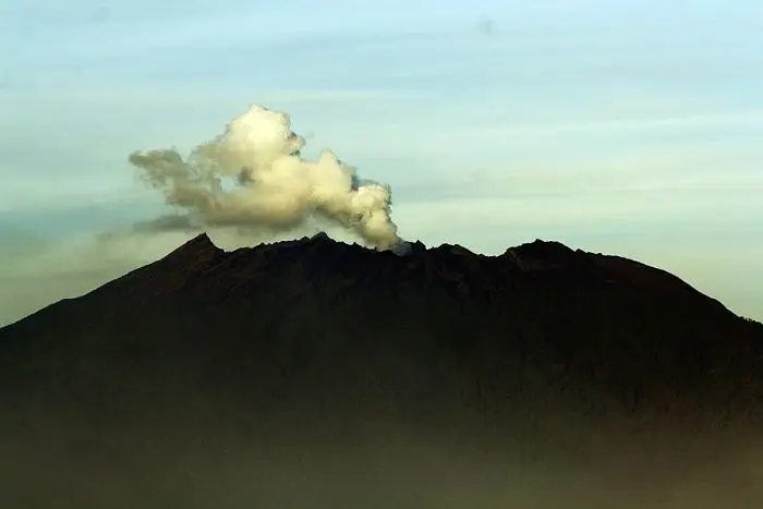
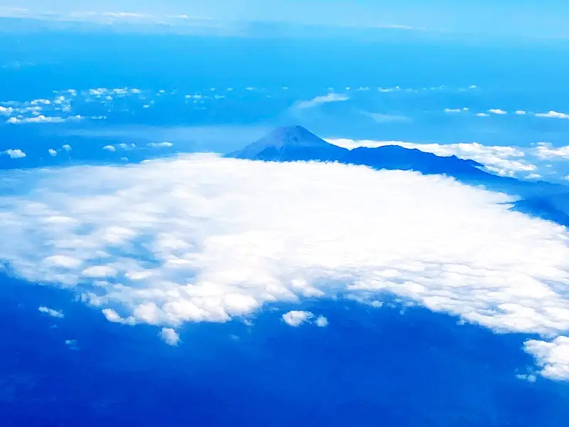
Between Semeru and Raung there is a huge volcanic massif that can be seen from all over East Java and that almost nobody knows: the Iyang-Argopuro massif. No eruption for at least five centuries, no plume, no crowds. Instead, the longest traverse in Java: more than 40 km of trail between the village of Baderan, to the north-east, and that of Bremi, to the north-west, through a succession of ecosystems that changes every two hours.
You cross humid rainforest, pine woods, marshes and above all high savannahs. The most famous, Cikasur, holds the remains of a Second World War airstrip and at dusk welcomes herds of rusa deer and peacocks. At the summit, stone ruins tell the legend of a princess. And at the end, Lake Taman Hidup, "the living garden", appears in the mist.
It is the trek for those who have done everything in Java and now want to walk for a long time, far from everything.
Argopuro at a glance
| Elevation | 3,088 m (Puncak Argopuro); Puncak Rengganis about 2,900 m |
|---|---|
| Type | Old, eroded volcanic complex (Iyang-Argapura) |
| Activity | No confirmed eruption for at least 500 years; fumaroles in some craters |
| Management | BBKSDA Jawa Timur, Yang highlands wildlife reserve (Dataran Tinggi Yang) |
| Traverse | Baderan (Situbondo) → Bremi (Probolinggo), about 40 to 60 km depending on variants |
| Time | 4 to 5 days |
| Difficulty | Long rather than technical; navigation is tricky in the savannahs |
| Monitoring | Not monitored by the PVMBG |
Is Argopuro open?
The box next to this article gives today's status. Argopuro is open most of the year, but closes in bad weather, during forest fires or search and rescue operations. We found no recent official announcement: check at the Baderan or Bremi posts before setting off, especially at the end of the dry season.
When to go
From May to October. In the rainy season the savannahs turn into swamps and the rivers swell. At the end of the dry season (September–October) the fire risk is high.
Getting there
There is no station or airport near Argopuro.
- Baderan (Besuki district, Situbondo): bus from Surabaya, Probolinggo or Banyuwangi to Besuki, then minibus (angkot) or motorbike taxi to the village.
- Bremi (Krucil district, Probolinggo): from Probolinggo bus station, small buses go up to the village morning and evening.
Plan transport back, since the traverse does not return to its starting point.
The traverse, stage by stage
Day 1: Baderan → Mata Air 1 or 2
You climb first through fields, then an increasingly dense forest, to the springs of Mata Air 1 or Mata Air 2. The track is wide at first: villagers ride motorbikes up it for a while.
Day 2: the Cikasur savannah
You come out onto Cikasur (about 2,200 m), a vast savannah by a clear stream, the Qolbu, where watercress grows. At the edge of the meadow you can make out the remains of an airstrip built under the Japanese occupation, and ruined buildings. At dusk, rusa deer and green peafowl come out of the forest. It is the finest camp on Argopuro.
Day 3: Cisentor, Rawa Embik and the summit
The traverse continues through Cisentor, a camp where two streams meet, then Rawa Embik, a high-altitude marsh. From the Rawa Embik camp you climb to the summits: Puncak Rengganis, with its stone ruins, and Puncak Argopuro (3,088 m), the highest point, in high forest without an open view. A third summit, Puncak Arca, has stone statues.
Day 4: Taman Hidup and the descent to Bremi
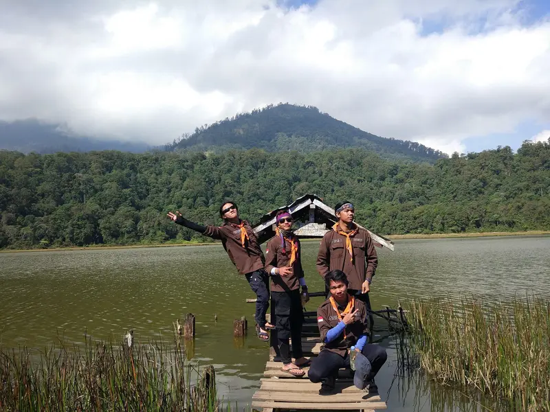
You go down through very wet forest to Lake Taman Hidup, "the living garden", often drowned in fog. Legend says you must not make noise there, or you will wake the spirits that raise the mist. The final descent leads to Bremi.
Map and GPX track
- Baderan → Cikasur → Rengganis → ArgopuroDistance 27 km · Elevation gain 2,544 m · Start 773 m → High point 2,994 mDownload the GPX track ↓
Indicative route from OpenStreetMap; elevations from Copernicus. Check on the ground and follow your guide. © OpenStreetMap, OpenTopoMap (CC-BY-SA), Open-Meteo.
The legend of Dewi Rengganis
According to local tradition, Dewi Rengganis was a princess of the Majapahit kingdom, daughter of a king and a nymph. Rejected at court, she withdrew to the mountain with her attendants and had a palace built there. The low walls and stone terraces of Puncak Rengganis, around a fumarole field, would be its remains. Archaeologists see them rather as a mountain sanctuary from the Hindu-Buddhist era. Pilgrims still visit the place.
Do I need a guide?
Yes, strongly. The savannahs look alike, trails cross, and fog comes down fast. Hikers have got lost on Argopuro, and search operations have sometimes lasted days. Guides and porters can be found in Baderan and Bremi.
How much does it cost?
The entrance fee was about 250,000 IDR (≈ 13 €) per day for a foreigner in 2019; it may have changed. Add a guide, porters, transport at both ends and five days of food.
We do not run Argopuro trips. Our longest treks are the three-day Arjuno–Welirang traverse and the south route on Raung.
What to bring
- Shoes that can handle water: the trails are often muddy and you cross streams
- A water purifier: there are springs, but the water must be treated
- Warm clothes: nights are cold, around 5 °C, sometimes lower
- An offline map and a power bank
The volcano
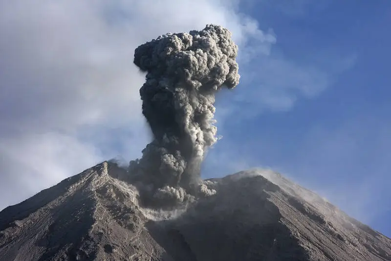
The Iyang-Argopuro massif dominates the landscape between Raung and Lamongan. It is an old, deeply eroded volcano: valleys 1,000 m deep cut into its base. Several Holocene cones sit on the summit, and fumaroles rise from some of the many explosion craters on the summit plateau. No major eruption has occurred for at least 500 years; an unverified eruption is reported in 1597. The massif is not monitored by the PVMBG.
Full timeline: 1 recorded eruptions
| Start | End | VEI | Location |
|---|---|---|---|
| 1597 (uncertain) | ? | – |
Source: Smithsonian Institution, Global Volcanism Program. VEI = Volcanic Explosivity Index, from 0 (effusive) to 8 (supervolcano); each step means ten times more material.
Wildlife
The Yang plateau has been a wildlife reserve since colonial times. You may see rusa deer (especially at Cikasur), green peafowl, wild boar, monkeys and many birds. Javan leopards still live here, but they are almost never seen.
Frequently asked questions
How many days does Argopuro take?
Four to five days for the Baderan–Bremi traverse, plus a day of travel at each end.
Is it difficult?
It is not technical, but it is long, with six- to eight-hour days and everything to carry (or porters to hire). Navigation is the real challenge.
Which way should I do the traverse?
Usually from Baderan to Bremi: the climb is more gradual, and you finish at Lake Taman Hidup.
Is there water?
Yes, several springs and streams (Mata Air, Cikasur, Cisentor). It must be treated.
Can I just do Cikasur?
Yes, there and back from Baderan in two or three days. It is already a superb hike.
Sources
- Smithsonian Institution, Global Volcanism Program, Iyang-Argapura (263330)
- BBKSDA Jawa Timur (Balai Besar KSDA Jawa Timur)
- Our former Argopuro guide (2019, in French)
Article updated on 16 November 2026